Two Wheels with a Charge Day 3
Columbus to Mount Vernon: Dodging raindrops
Columbus was awakening from an evening of thunderstorms. Downtown streets were wet and empty as I headed back to the Scioto Mile for a scenic loop of my favorite Columbus photo ops rather than the noisy ugly Downtown Connector along I-670.
I turned South off Neil Avenue onto the Scioto Greenway and was surrounded by the city skyline to the east and the Scioto River to my west.
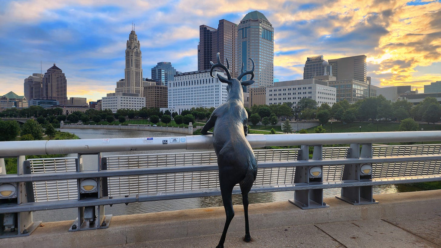
My first destination was the deer statue overlooking the skyline from the Town Street bridge. It is one of three deer statues on the Scioto Mile. The others are on the west side of the river on the COSI lawn. The sunrise was spectacular from the bridge.
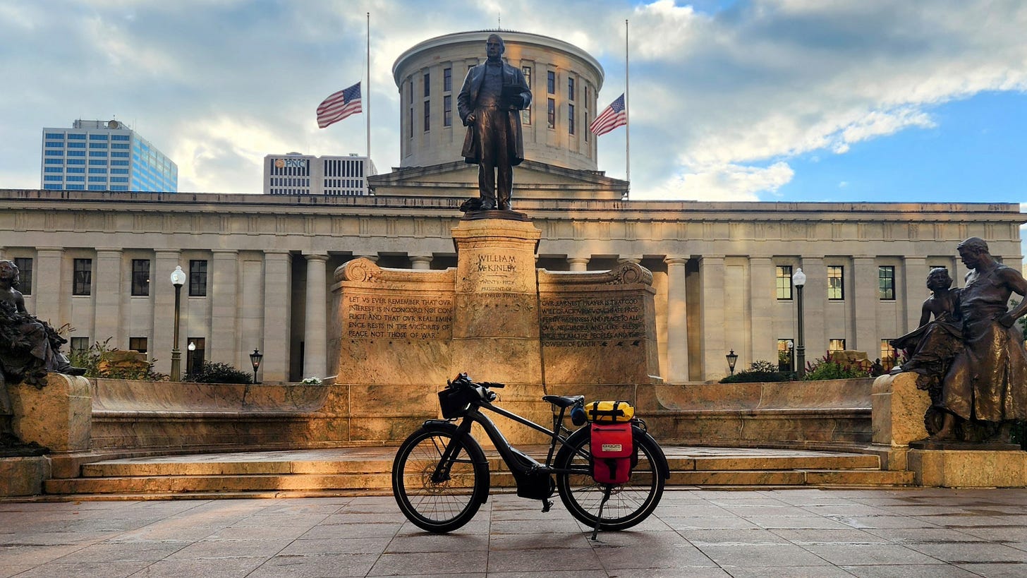
I headed north on Front Street and turned up the hill on State Street. I crossed High Street into the Ohio State Capitol grounds. I have never taken a photo of my bike loaded for touring in front of the Capitol.
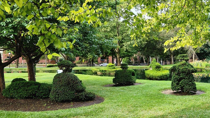
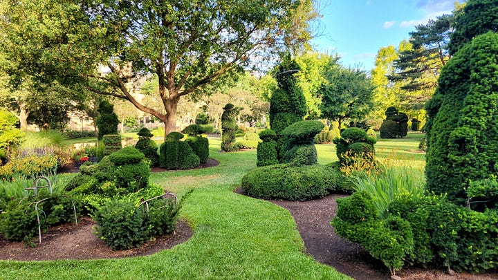
I cycled back south to Town Street and headed east to Topiary Park. This park does not get the exposure it should. Located close to downtown behind the library is a green space that is welcoming and peaceful. The topiaries recreate Georges Seurat’s famous painting, A Sunday Afternoon on the Island of La Grande Jatte. Put this park on your Cap City to-vist list.
Continuing east on Town Street, it becomes Brydon Road. This shady quiet street and neighborhood leads to the Alum Creek Trail. I took a few block detour to my final Columbus loop destination, Franklin Park.
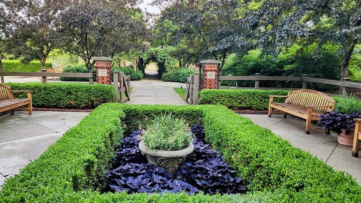
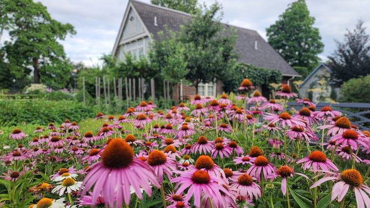

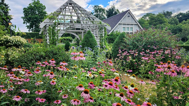
Although the Franklin Park Conservatory is by paid admission, the beautiful parklands and landscaped gardens are free and accessible to all. I love the gardens on the southeast corner of the park and stop to snap photos when I am cycling nearby.
It was time to head back to the Ohio to Erie Trail. Just east of the southeast park gate lies Alum Creek and the Alum Creek Trail. I headed north two miles to rejoin the OTET route at 5th Avenue.
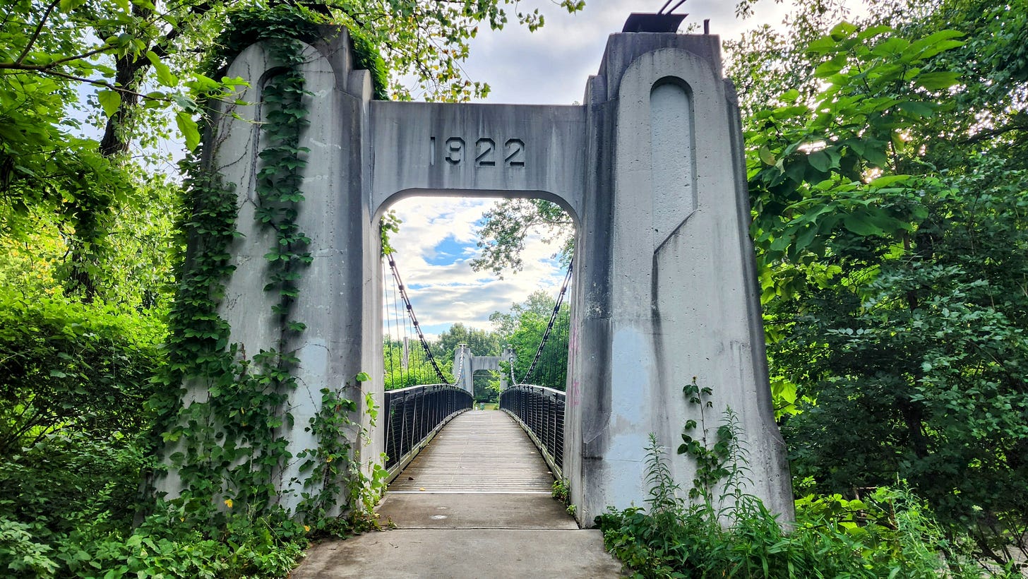
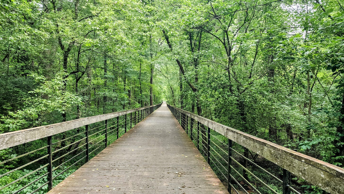
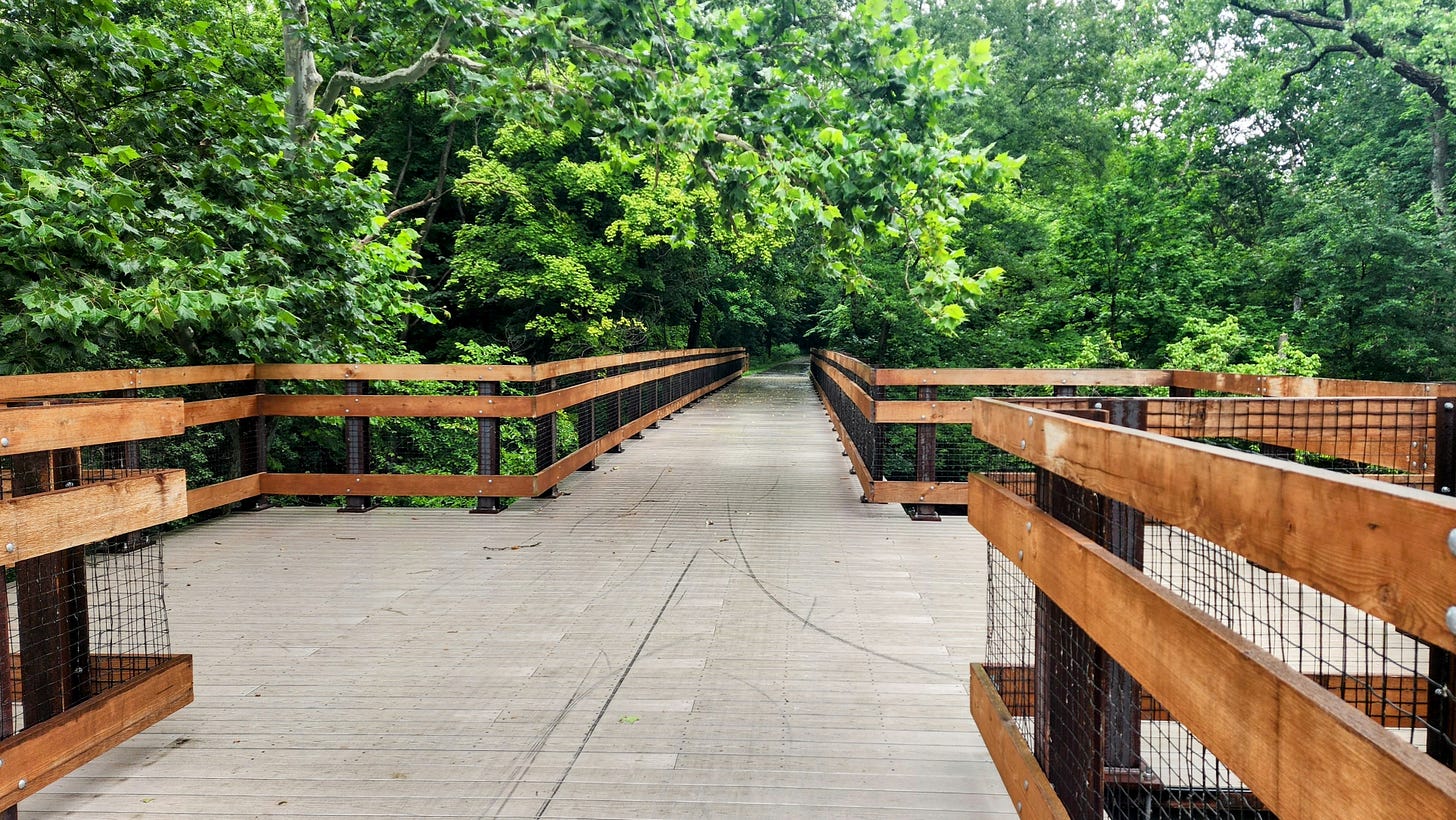
The morning was partly sunny but with a promise of scattered showers. Those scattered showers appeared on the Alum Creek Trail near Westerville. This section of trail is one of my favorites on the OTET. Shady, many unique bridges crossing the creek, and a winding path.
I opted not to eat breakfast at the hotel and decided to stop at Bob Evans, an Ohio dining institution, at the northern end of Westerville. Mid morning and properly fueled, I headed into Delaware County. The rain picked up but thankfully the trail was very shady and pretty much protected me.
I cycled through Sunbury to the new trail section over Big Walnut Creek north of Sunbury. The creek bridge is the gateway to the farmlands of Delaware County. A short time later I found myself on my home trail, the Heart of Ohio Trail.
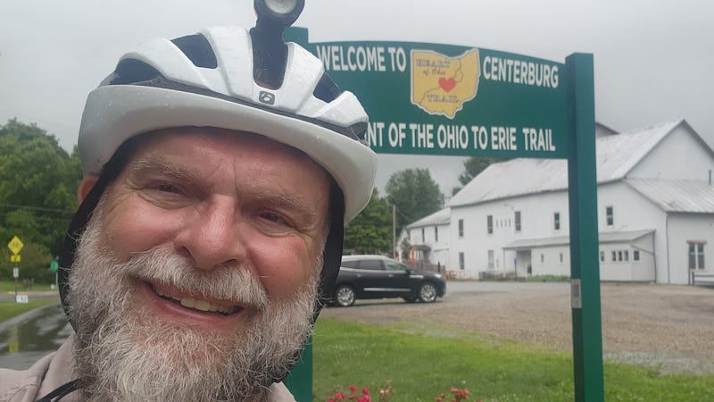
I played tourist and snapped my photo at the midpoint of the Ohio to Erie Trail at the Centerburg Mill. No stop in Centerburg is complete until you have a Texas kolache and coffee at Kolacheez Coffee Bar at the mill. My order was an apple kolache and large latte. The cowboy cookies there are truly amazing!
My next stop was More Space at Your Place, a few blocks up on Main Street. The shop carries a good bit of OTET, trail and cycling handcrafted items. I recommend a stop there. I headed north 13 miles to Mount Vernon, my destination for the night.
Miraculously the ground was dry in Mount Vernon as I cycled up Gay Street to the Grand Hotel. I wanted to experience this trail tour as a visitor. That meant that I would stay in a hotel in Mount Vernon rather than at my home 8 miles south. I ended the day with dinner and a walk through downtown Mount Vernon.
Tomorrow morning I’m off to Millersburg and Ohio Amish Country. There are many scenic spots along the way in both Knox and Holmes County. The forecast is clear and sunny with no rain. However, the temps will be rising for the rest of my tour.
Today’s miles: 54
Tour miles: 187


I like your vagabond route to the Alum Creek Trail! Definitely more scenic than the downtown connector.
Love the photos and your way through Cbus to Alum Creek Trail!